Weather Observations : July 5th 2018

Maximum Temperature: 69°F
Minimum Temperature: 60°F
This is the first occasion since this heatwave started on June 24th of the daytime and night time temperatures being in the same band (in this case 60°F to 69°F)
Rainfall: Nil
Wind speed (at 0800 BST): Calm
Weather: Unbroken Sunshine

So far this heatwave has seen the following temperature ranges:

Maximum Maximum: 79°F (July 2nd 2018)
Minimum Maximum: 66°F (June 24th 2018)
Maximum Minimum: 69°F (June 30th 2018)
Minimum Minimum: 57°F (June 24th 2018)

Weather Observations : July 1st 2018

Now that I have a max / min thermometer, a wind speed guage and a rain guage, I am now able to join in with everyone else who posts their observations. And, although the United Kingdom uses metric measurements (°C and mm), I have decided to use imperial measurements (°F and inches) so that no one gets confused. All observations are taken at 0800 local time and refer to the previous 24 hours.

Maximum temperature: 75.7°F
Average maximum for July: 67.0°F
Minimum temperature: 66.4°F
Average minimum for July: 53.0°F
Cooling Degree Day: 6.05
Rainfall: 0.002 inches

I suppose it had to happen

Starting at 6.00pm BST this evening, a province wide hosepipe ban will be enacted across the whole of Northern Ireland with NI Water has appealed for people not to use water for washing cars, filling pools, or sprinkling gardens, as supply failures have already hit some areas.
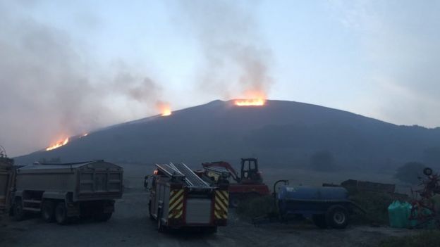
It comes as temperatures are set to hit 29C on Friday, just a fraction lower than highs of 30.5C Thursday which is going to come as bad news for the 25 fighters are battling a major gorse fire on the Glenshane Pass, which has been burning for three days and now has a front up to 500m long.

And it gets worse as a man is arrested for causing a grass fire in Bolton, not far from the fire on Saddleworth Moor.

Man arrested on suspicion of arson in Lancashire

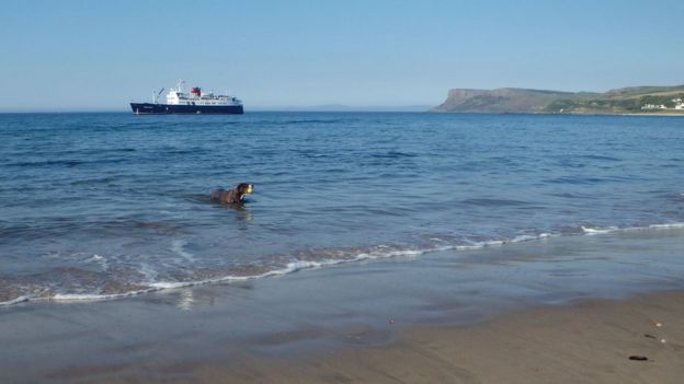
Ballycastle in Northen Ireland

With Wales having boasted two days of being the hottest place in the UK

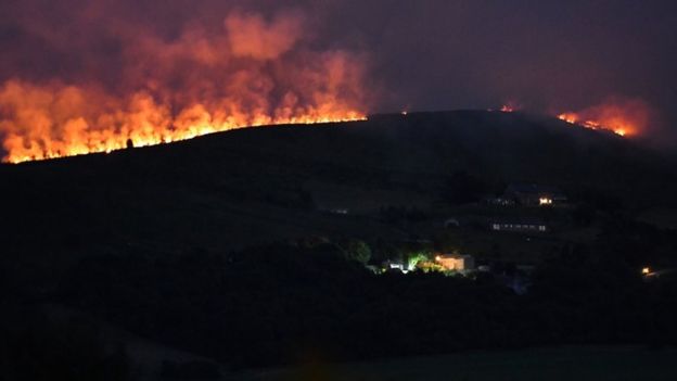
Now comes the downside, grass fires. First, a major one, which is still happening in moorlands of Greater Manchester. Saddleworth Moor (which lends its name to the Oldham East and Saddleworth constituency) has been burning since Sunday evening and is now classed as a major incident by Greater Manchester Police and the City of Manchester Fire Service

Saddleworth Moor Fire now a “major incident”

Saddleworth Moor

Stalybridge

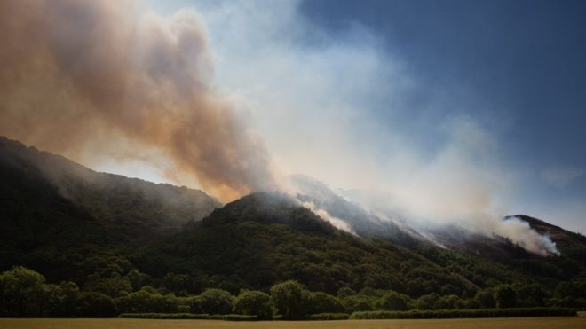
And at the same time, not too far from where I live, a grass fire caused the closure of the Vale of Rheidol small guage railway line so that the fire service could attend.

Ceredigion Grass Fire Reports

Cwm Rhiedol Grass Fire

Gobbledygook is the last thing we need during a heatwave

The Misadventures of Gobbledegook the Turkey

Dictionary.com defines “Gobbledygook” as:

language that is meaningless or is made unintelligible by excessive use of technical terms.

And it is my belief that the definition of a heatwave from the UK Met Office meets the definition precisely:

A heatwave refers to a prolonged period of hot weather, which may be accompanied by high humidity. The World Meteorological Organization guidance around the definition of a heatwave is “A marked unusual hot weather (Max, Min and daily average) over a region persisting at least two consecutive days during the hot period of the year based on local climatological conditions, with thermal conditions recorded above given thresholds.” They are common in the northern and southern hemisphere during summer, but classification and impacts vary globally.

The British Summer gets a boost

The more observant of you will have noticed that the British weather of late has been lacking in action. Indeed, aside from storm Hector (as the Irish called it) since about the beginning of May it’s been so quiet, I’ve had nothing much to talk about (as demonstrated by this chart showing how dry it was in May)

Rainfall in May 2018 (compared to the long term average)

Well, this week is going to see those numbers for June look comparable (or even more dry) as we are now in what is termed an Omega high (because that’s what it looks like) and for us here in Ceredigion, we are expecting the following temperatures over the course of the week

Sunday: 21°C (70°F), Monday: 23°C (73°F), Tuesday: 25°C (77°F), Wednesday: 26°C (79°F), Thursday: 25°C (77°F), Friday: 24°C (75°F) and Saturday: 22°C (72°F)

All of which are above the long term average for June of 18°C (64°F), therefore I am going to (starting today) use my maximum / minimum thermometer (in the alleyway which is shaded 24/7 and is 5ft in the air) to record this long spell of warmth and see how I compare with the official recordings at Trawsgoed (inland) and Aberporth (coastal)
It’s been so quiet across the UK of late, it’s been boring

And the reason for that is a jet stream that’s been taking a massive holiday for instead of crossing the Atlantic as it usually does, it’s been taking (perhaps a well earned rest) in Iceland and Greenland for the last few weeks and giving Iceland especially the worst summer they have had in a long while, however today, the jet stream is back in working order and is about to deliver a punch to the United Kingdom

Rainfall Radar Forecast for 2200 BST, June 13th 2018

That is one of the strongest summer storms ever to form in the Atlantic that people can remember and once formed it’s heading due east so that by 4.00am tomorrow morning the centre of the storm will be over the Western Isles and winds of over 50mph will be battering the western shores of Ireland, and if anyone thinks that this is just a one hit wonder then think again as on Friday a slightly weaker storm slams into Wales and the South West as a reminder that we are an island nation.

An extreme case of deja vu for the United Kingdom

This evening the United Kingdom is starting to recover from a severe blast of Siberian winds that have made the average temperature fall as much as 14°C (from Friday’s maximum of 15°C in London, to today’s maximum of 1°C). Hang on, a moment, haven’t we done this before?

Well, the answer to that is “Yes, we have” and it’s for the same reason. Just as we have a Scandi blocking HIGH turn those Siberian winds onto full blast at the start of the month (thanks to that SSW) the same thing happened again on Friday only this time, we actually got the snow this time (I admit not much, but at least it means that I can post these pictures and not worry about feeling left out)