The British fascination with all things wintry

We Brits seem to have a bit of a love / hate relationship when it comes to the subject of snow. As soon as October comes around, newspapers instantly start wishing for the white stuff with headlines such as “Coldest winter in a century on way” or “-12°C Britain faces snow chaos”. When there is a suggestion of snow in the forecast, the reporting ramps up a gear with headlines such as “Screaming Northerlies to bring winter hell THIS WEEK!”, then when it actually comes along comes the hate side of the relationship.

“SNOW CAUSES BIN COLLECTION BACKLOG” in local newspapers when people suddenly find out that the binmen are also the people who drive the gritting lorries, “GOING SNOWHERE” when people discover that even the slightest amount of snow in the United Kingdom is enough to bring major transport infrastructure to a grinding halt and of course “SNOW CHAOS : And they still claim its global warming” from newspapers who have an extreme right wing agenda that refuses to recognise climate change.

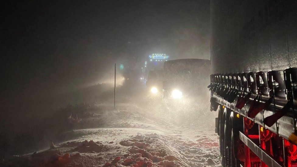
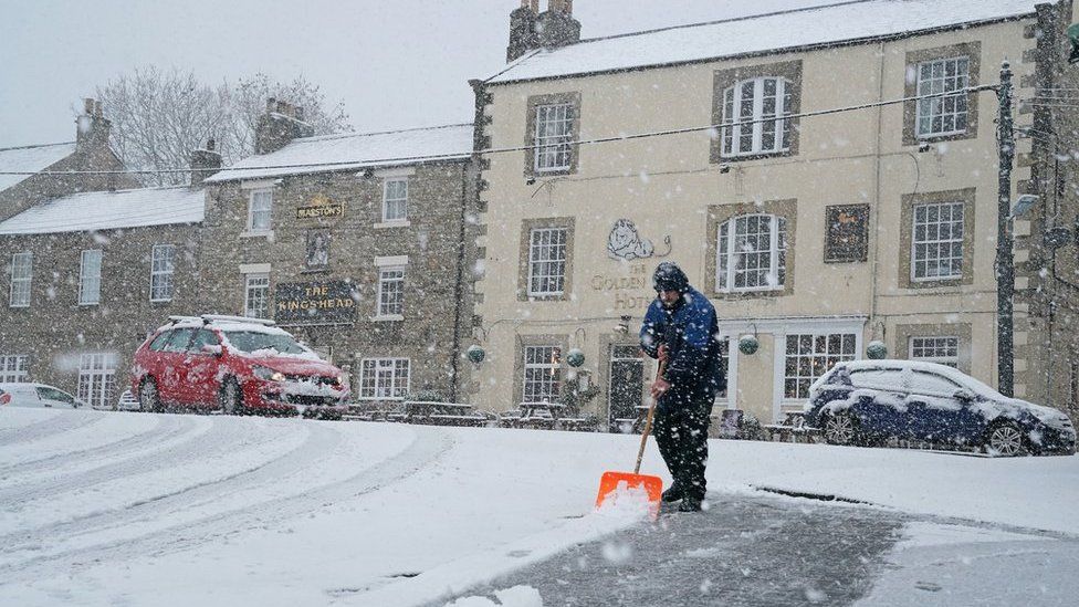
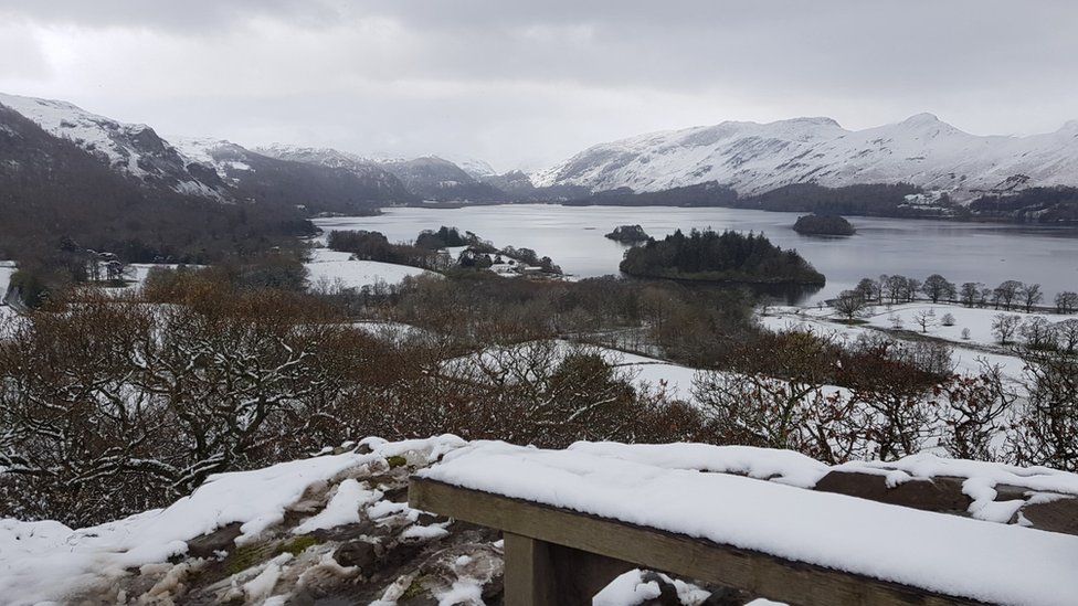
So why do I mention this now? It’s because a lot of models are now talking about a snow event starting at midnight GMT on November 25th as a polar low forms in the North Sea which over the next three days brings a collection of snow showers (dumping snow over the Scottish Highlands, Pennines, Snowdonia and the Brecon Beacons) and as you might expect the media are hyping it up as per usual, therefore you will be pleased to hear that if it does snow, I shall be posting information which is not hyperbole, but actual recordings and photographs.

Oh, and a word of warning, if anyone comes from the Daily Express asking for a comment, run like the plague.

A collection of Daily Express headlines on snow

The Return of an Old Friend

For the last couple of days, Scotland has been living up to its status as a hard and biting land with some areas having seen six inches of snowfall (which thanks to the winds up there has been drifting) and causing traffic problems (as seen here)

Drifting Snow in the Scottish Highlands

However, for Scotland, this is an annual occurance and of no great consequence to the rest of the United Kingdom, starting today however it will become of consequence to the United Kingdom as this chart demonstrates:

Windchill Forecast for the next five days

The second “Beast from the East” in three years has started today and will see the whole of the United Kingdom experience below freezing windchills with the eastern coast experencing windchills as low as -10°C (14°F) and if you are unlucky enough to live in the mountains (where any precipation will fall as snow and settle) windchills could range from -14°C (7°F) to -18°C (0°F) and there is even a suggestion that here in coastal Western Wales we could get an inch of lying snow (and that’s after the protection of the Cambrians)

So in the next few days do not be suprised if you see headlines like these from this side of the pond on your evening news broadcasts and remember the only reason is that London and the South East is having to experience what Scotland experiences every winter

Boxing Day Traditions in the United Kingdom

The day after Christmas Day is called Boxing Day in the United Kingdom, named, not because people went around to other people’s houses drunk from all the sherry drunk the previous day and roar “Do you want some?” before delivering a right hook, but because in the Victorian era it was the day that boxes of gifts were given to the servants in the house.

As a result there are a large number of things that happen on Boxing Day that could only happen in the United Kingdom including: regulated gatherings of people on horseback to take part in largely ceremonial hunts (regulated in the United Kingdom since 2005), stores holding sales where items are reduced by up to 75% and especially since the 1990’s, storms.

The first one of note was on Boxing Day 1998 which made landfall in north western Ireland with winds peaking at 65mph (making it in American terms a Cat 1 hurricane). This was followed in 2010 by the thaw storm, that turned a month of sub zero temperatures (leading to records being broken all over the country) into a generally speaking dismal December day, then you had Storm Erich in 2013 which saw parts of Wales receive Cat 3 hurricane strength gusts and this year is no exception as Storm Bella will cross the country over the course of the day

BBC Weather Report about Storm Bella

Forget the “October Surprise”, the Atlantic Hurricane Season is about to deliver an August Surprise

The Republican Party must hate the Atlantic Hurricane season with a vengeance.

In 2008, the convention (being held in Minneapolis / St. Paul) found itself on the forecast track for Hurricane Gustav.

In 2012, the convention (held in Tampa, Florida) has its first day curtailed because of Tropical Storm Issac which saw the convention chairman call the Convention to order, explain what was happening, and then start a clock showing the American national debt before placing the convention in recess ten minutes later.

And now in 2020, Hurricane Laura (as will be) and Hurricane Marco are both forecast to make landfall no further than 400 miles from each other within a timescale of 60 hours which (although I have only been focused on hurricanes since 2003) has to be the closest two landfalling hurricanes have landed and the shortest amount of time between them.

Hurricane Laura Forecast Track

Hurricane Marco Forecast Track

I am so glad that Weather Together is working again

because, boy, do we need it

This forecast map generated by WXCharts (a Met Desk product) shows the end result of a storm that is forecast to form on Sunday morning at 6.00am GMT (1.00am EST) off the coast of North Carolina where, thanks to a supercharged jet stream travelling at over 200 knots (245mph), the storm will experience not one, not two, SIX periods of explosive cyclogenesis (where the central pressure drops by more than 24mb in a 24 hour period) and arrive in the UK producing sustained Cat 1 hurricane winds and Cat 2 hurricane gusts of over 100mph making it the most damaging storm ever to hit the UK since the “Great Hurricane of 1987”.

However, the BBC (unlike then) have raised concerns and even mentioned the fact that something could happen in yesterday’s seven day forecast (which is updated every twenty four hours and broadcast on the BBC News Channel at 9.55pm GMT daily).

I think it is high time we had a serious discussion about hurricanes in the UK

Members will know that I have long said that just because a hurricane loses it’s tropical status, the National Hurricane Centre shouldn’t forget about it and given the most recent forecast track by the Centre I think this bears saying again

cone graphic

Yes, your eyes are not deceiving you. That is an official National Hurricane Centre forecast track (published at 9.00am UTC this morning) indicating that at 7.00pm BST tomorrow evening, a minimum category one hurricane will make landfall in the Republic of Ireland (the first time since Hurricane Debbie in 1961). With this forecast track, the various weather media in the United Kingdom are going to have to face facts. Hurricanes, especially in the post climate changed world, will make landfall ANYWHERE and that includes the United Kingdom.

Today is Boat Race Day

When the entire country’s attention will focus on a four mile section of the River Thames in London going from Putney to Mortlake which can be done in a fast a time as 16′ 19″ (10 knots) and over the last 189 years has been won by Cambridge 83 times and by Oxford 80 times (including a tie in 1877). However, rowing on open water, in the early spring does cause one or two problems as has been only too well demonstrated in the past.

1859: Oxford
“It would not have been easy to pitch on a more unfavourable day for an eight-oared race” reported the Times the following day due to the weather conditions, but it was the toss of the coin that decided things as Oxford won and chose Middlesex allowing them to avoid the worst of the weather leaving Cambridge on the Surrey side and as a result they sank at Hammersmith

1912: No winner
The spring of 1912 was a terrible spring with the weather leading up to the event completely at ends with itself, so it should come as no surprise to hear that neither team managed to reach the end of the course sinking (Oxford sinking at Hammersmith Bridge and Cambridge at the Harrods Depository)

1925: Cambridge
Thanks to a strong wind just after the start of the race, Oxford (who were drawn on Surrey) found that they simply could not navigate and less than a minute later sank and led to an almighty row that very nearly stopped the Boat Race entirely

1951: Cambridge (at the second attempt)
The weather was so bad that the referee announced a “no row” (the same as being cancelled) and a few days later they held it again.

1978: Oxford
The race started at 2.45pm in reasonable conditions however just after Barnes bridge this happened

2016: The women’s race became the first women’s race to be looked at very closely when this happened to Cambridge

And what of the forecast for today? Well, if there is going to a weather effect it will most likely happen at Hammersmith Bridge and the forecast for there for the time of the race? Heavy rain with winds gusting to 12mph (in other words, place your bets on a sinking!)

Having the builders in can create havoc

pecially when, as they are dealing with electrics, they have to switch the power off so many times that (as was the case with me) from 11.27am GMT on St. Valentine’s Day until 1.53pm GMT on February 24th my wifi ceased to exist and as such completely ruined my tallies for February (during which time we had temperatures reaching 70°F, setting a new February high).

Those highs produced another problem as Saddleworth Moor (for the second time in less than a year) erupted into flames and whilst that fire was put out in less than 24 hours, the Farmer’s Guardian newspaper had it as their lead story following a conference on the subject of the climate that noted “rivers are below average” and that “concerns were growing” over the 2019 season. This was proven here as throughout February we had only 38mm of rain (1½ inches of rain) on seven days.

January Climate Data for Llanrhystud, Ceredigion, Wales

Thanks to Nathan very kindly sending me his weather station (so that I am now able to record the temperature remotely, which being a carer is an absolute godsend) I am now able to produce my first full climate data for January 2019. The average maximum temperature was 8.09°C (46.56°F) and the average minimum temperature was 3.87°C (38.97°F) with the mean temperature being 5.98°C (42.76°F). Compared with long term averages (as published by the UK Met Office), we have been on average for the maximum (47°F) and warmer than average for the minimum (36°F). The extremes for the month were a maximum of 12°C (54°F) on the 13th and a minimum of -4°C (25°F) on the 3rd. Despite the forecast of mass dumps of snow across Wales over the last day, we have had absolutely nothing here and only very small amounts on the nearby hills.

These hills are about 200m (450ft) above sea level which is where any snow has fallen

With regard to rainfall we had a total of 53.5mm (2.10″) on 14 days. On average we are supposed to have 11 days of rain in January delivering around three inches of rain.